Erosion, Algae, and What's Next for the Shore Between Lorain and Cleveland
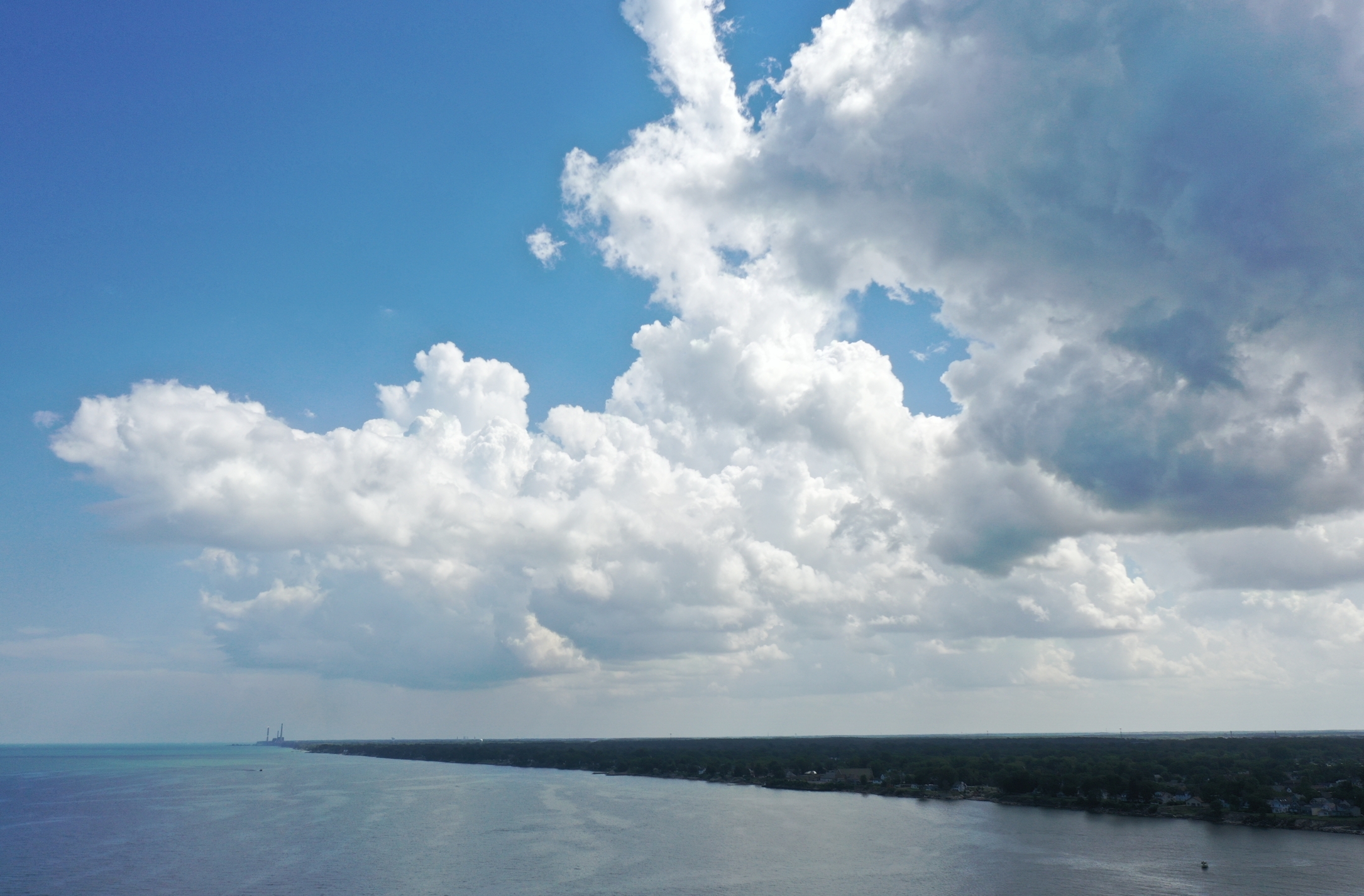
The 15 miles of Lake Erie shoreline between Lorain and Cleveland don't get a lot of attention. No major marinas. No tourism campaigns. No breakwalls funded by the Army Corps. It's mostly residential - people living in houses on bluffs and narrow lots with the lake out their back door.
But this stretch of shore has been taking hits for years. Erosion is eating backyards. Water quality keeps people guessing about whether it's safe to swim. And most of the lakefront is private, leaving limited public access for everyone else.
Here's what's actually happening, community by community.
The Erosion Problem
Lake Erie's Ohio shoreline loses an average of 1.41 feet per year. That's the average. In bad years, some stretches lose 8 to 10 feet. Across the entire Ohio coast, approximately 1.6 million tons of material erodes into the lake every year.
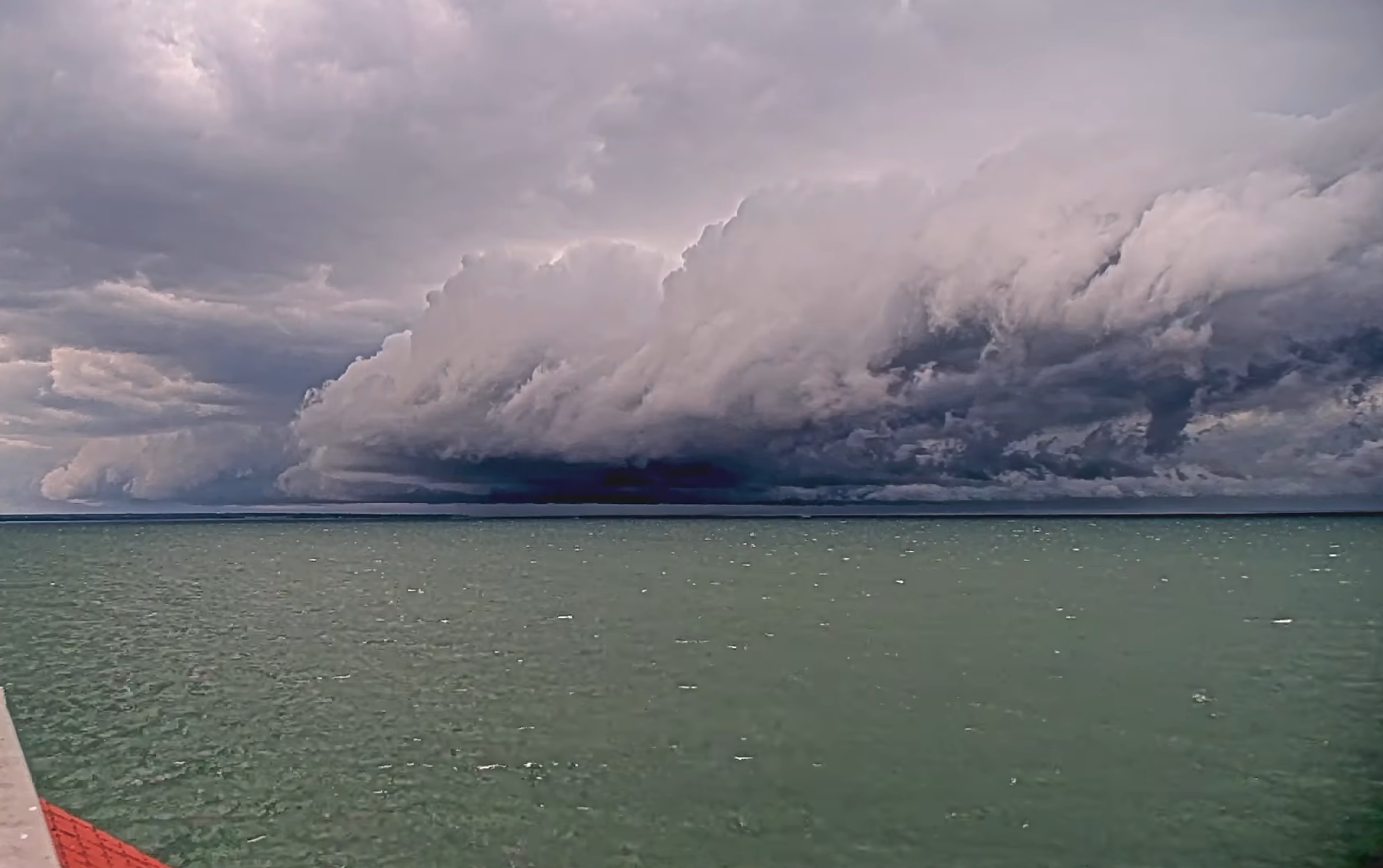
The communities between Lorain and Cleveland sit on some of the most exposed shoreline in the central basin. No islands to break the waves. No harbor breakwalls to absorb the energy. When a northeast wind pushes swells down the length of the lake, this stretch takes the full force.
A USGS study found that 25 percent of Ohio's lakefront homes sit within 25 feet of the bluff or shoreline. Another 22 percent are between 25 and 50 feet. That means nearly half of all lakefront homes along this coast are within a generation of being in serious trouble if erosion continues at current rates.
What It Costs to Fight Back
Homeowners on this stretch are largely on their own. Replacing a failing seawall runs $400 to $1,200 per linear foot. For a typical 50-foot lot, that's $20,000 to $60,000. And because many of these properties sit on bluffs above the water, contractors often can't bring equipment in from land. They have to float in a barge with a crane or excavator, which drives costs even higher.
| Protection Type | Cost Range | Notes |
|---|---|---|
| Rip Rap (rock armor) | $150-400/ft | Cheapest option, most eco-friendly |
| Wooden Seawall | $200-600/ft | Economical, shorter lifespan |
| Sheet Pile Steel | $400-900/ft | Durable, common on Lake Erie |
| Concrete Seawall | $600-1,200/ft | Most expensive, longest lasting |
| Barge Access Surcharge | Varies | Required when land access isn't possible |
ODNR does offer free temporary shore structure permits for emergency situations, and their coastal engineers will come to your property at no charge to assess the situation and recommend options. But the actual construction costs are on the homeowner.
Water Quality - What You Need to Know
The good news for this stretch of shoreline: harmful algal blooms are primarily a western basin problem. The blooms that make national news around Toledo and the islands rarely push this far east. Central basin communities between Lorain and Cleveland are usually unaffected during most of the season, though localized blooms can appear near river mouths after heavy summer storms.
The bigger water quality concern here is E. coli. After heavy rain events, stormwater runoff from creeks and tributaries - French Creek, Cahoon Creek, and smaller drainages - can push bacteria levels above safe swimming thresholds. The state uses 235 colonies per 100mL as the advisory threshold. When levels exceed that, full body contact isn't recommended, especially for children, elderly, and anyone with health issues.
Huntington Beach in Bay Village is one of only two Ohio beaches on the Ohio Nowcast system, which uses environmental data to predict bacteria levels rather than waiting for lab results. That means you can get a same-day water quality prediction before you pack the car.
For beaches in Lorain County (Avon Lake, Sheffield Lake), check the Lorain County Public Health department or the Ohio DOH BeachGuard website for current advisories.
The Avon Lake Power Plant - A New Chapter
The biggest change on this shoreline in decades is already underway. The former Avon Lake coal-fired power plant - a fixture on the lakefront for generations - completed demolition in fall 2025. The site is now in environmental remediation.
What comes next could reshape Avon Lake's entire relationship with the water.
The city is planning approximately 23 acres of public lakefront park between Lake Road and the shore. Beyond the park, the vision includes a mix of residential, commercial, restaurants, hotels, and potentially a marina. As of March 2026, the planning commission is reviewing zoning proposals and residents will have a say in what gets built.
The city has also preserved pieces of the old plant - the master clock, pink marble slabs from the lobby, and bricks that residents can purchase from the Avon Lake Historical Society.
This is the kind of opportunity that doesn't come around often. A coal plant site turning into public lakefront with commercial development on a stretch of shore that has almost none of it today.
Where Can You Actually Get to the Lake?
Most of this shoreline is private residential property. But each community does have public access, and knowing where it is makes a difference.
| Community | Park/Beach | What's There |
|---|---|---|
| Avon Lake | Miller Road Park | 2-lane boat launch (24hr), 400-ft fishing pier, swimming beach, playground, gazebo, picnic area |
| Avon Lake | Veterans Memorial Park | Lakefront walking paths, memorial, lake views |
| Avon Lake | (Former power plant site) | 23-acre park planned - not yet built |
| Sheffield Lake | Community Park | Free boat ramp, beach, restrooms, picnic tables, binocular station |
| Sheffield Lake | Shell Cove Park | Observation deck, photo spot, sunset views |
| Sheffield Lake | 3 additional lakefront parks | Various amenities, dawn to dusk |
| Bay Village | Huntington Beach | 2,432-ft beach, 100 acres, 5 staircases, ADA walkway, lifeguards, concessions, Nature Center, BAYarts |
Compare that to what's on either side: Lorain has Lakeview Park, the Black River, and multiple harbor access points. Cleveland has Edgewater, E. 55th Marina, and the entire Lakefront Reservation. The communities in between have pockets of access, but nothing on that scale.
What's Being Done
ODNR maintains an interactive Coastal Erosion Area map that shows which properties fall within the 30-year erosion projection zone. If your property is in a designated Coastal Erosion Area, you should know about it before you invest in major improvements.
Resources available to homeowners right now:
- ODNR free on-site technical assistance - coastal engineers will visit your property and provide erosion mitigation recommendations at no charge
- Temporary Shore Structure Permits - free emergency permits for urgent erosion protection, typically issued within a week
- Ohio BeachGuard - real-time beach water quality advisories at publicapps.odh.ohio.gov/beachguardpublic
- ODNR Coastal Erosion Area Map Viewer - check your property's erosion status at gis.ohiodnr.gov/MapViewer
- Lake Erie Pulse Conditions - real-time wind, waves, and weather for every port from Toledo to Erie at lakeeriepulse.com/conditions
---
Looking Ahead
This stretch of Lake Erie shoreline doesn't have the tourism dollars or the infrastructure that its neighbors do. But the people who live here deal with the same lake - the same storms, the same erosion, the same water quality questions. The Avon Lake power plant site is a once-in-a-generation opportunity to change that. And for everyone else along this shore, knowing what resources exist and what to watch for can make the difference between getting ahead of a problem and watching it take your backyard.
Check real-time Lake Erie conditions, water quality, and marine forecasts anytime at lakeeriepulse.com/conditions. Set your home port and get a personalized daily boating forecast delivered to your inbox every morning at 6 AM.