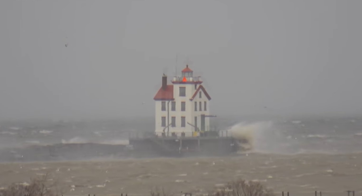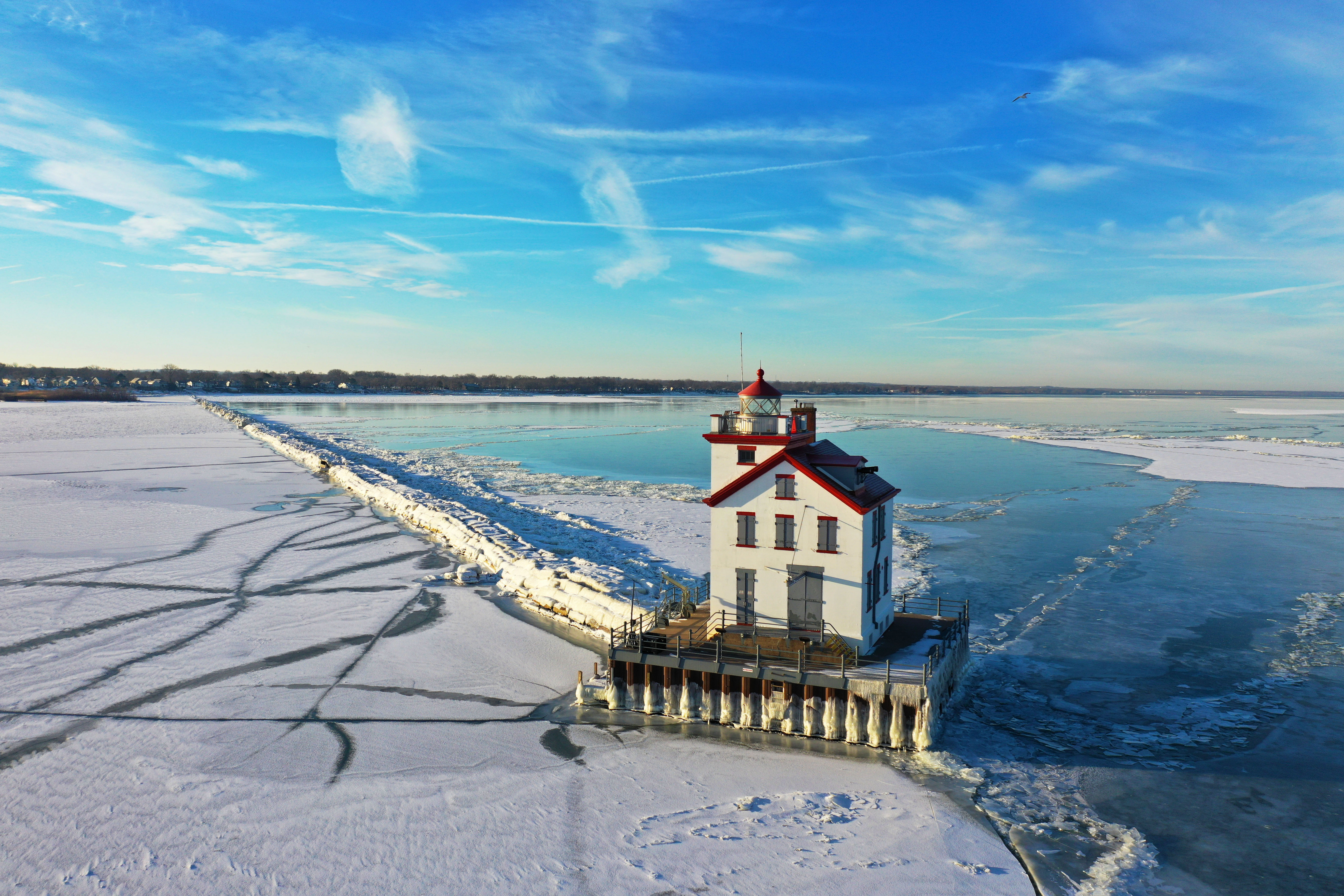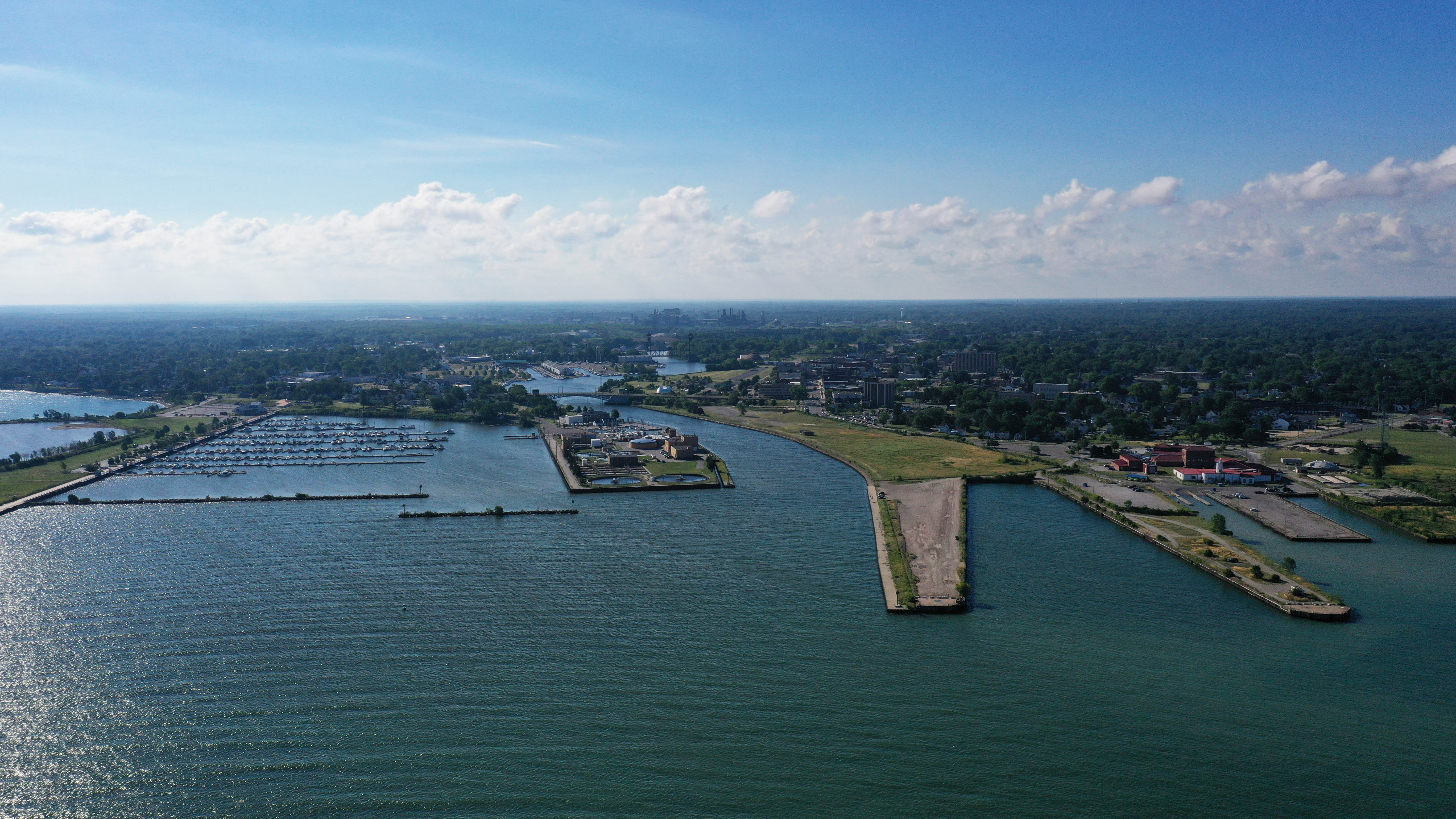
The Buoys Are Out. Here's Where Lake Erie's Numbers Come From Until Spring.
If you opened the Lorain or Port Clinton conditions page this week and saw a new note at the top, this is what it's about. Every November, the buoys that feed Lake Erie Pulse come out of the water. Not because anything is broken. Because ice would destroy them.
Lake Erie's nearshore buoys are run by regional partners through the Great Lakes Observing System and shared through NOAA's National Data Buoy Center. They're small, they float, and the lake freezes. So each fall a crew goes out with a boat and a crane, lifts them onto a trailer, and puts them in a garage until spring. The first one came out in late September. The last one, off Huron, stopped reporting on November 3.
Two are still talking. The Cleveland Crib station isn't really a buoy. It sits on the water-intake crib a few miles off downtown Cleveland, a structure that's been out there for a century, so it may keep reporting straight through the winter. Fairport Harbor is still in the water as of this writing, but don't count on it for long.
What you'll see instead. We didn't want winter to turn into a wall of "offline." So when a city's own buoy is out, the page tells you so and swaps in the next-best official source for each number. Here's the lineup.
| Number | In season | Right now (buoy out) |
|---|---|---|
| Waves | Your nearest buoy, measured | NWS nearshore marine forecast for your zone, shown as "up to X ft" |
| Wind | Your nearest buoy, measured | NWS point forecast for your city |
| Water temperature | Your nearest buoy, measured | The nearest NOAA CO-OPS shore station, a real thermometer that runs all winter, or the NWS "water temperature off Cleveland" line |
| The whole lake | Buoys plus satellite | NOAA's daily GLSEA satellite map, which never takes the winter off |
One more trick: borrowing a neighbor. If your city's buoy is out but a live one is within about 45 kilometers, you get that buoy's real readings with the distance printed right under the number. That's why Lorain, Avon Lake, Bay Village and the Cleveland suburbs still show live waves and water temperature this week: they're riding the Crib, and the page says "Cleveland Crib buoy · 36 km away" so you know exactly what you're looking at. The app has worked this way since October. The website now matches.
A forecast is not a measurement. We mark every forecast number, on the page and in the app, because it matters. A buoy tells you what the lake is doing. The NWS nearshore forecast tells you what it expects the lake to do over the next several hours, and it leans conservative on purpose. When you see "up to 6 ft," read it as the top of the range for the period, not the height of the wave hitting the breakwall this minute. If you're launching in November, that's the number you want anyway.
What the water's doing right now. The lake has lost five to seven degrees in the past week alone, and it's going to keep sliding. Here's where it stood this week, from the shore stations and the Crib.
That's cold-shock territory for anyone who ends up in it, and it's exactly what the steelhead crowd has been waiting for. The tributaries are pulling in fresh fish on every rain, and the late-season walleye bite off the central basin runs right up until the harbors start skimming over. The western basin usually starts icing in late December or January; the deeper water off Cleveland and east holds out longer. Once the ice sets in, the satellite map is the only live picture of the lake there is, and it's on every water-temperature page.
When do the buoys come back? Usually April, sometimes May, depending on when the ice clears and when the crews can get out. You don't have to do anything. The moment a buoy reports again, its city page and the app go back to the live reading on their own, and the "out for the season" note disappears.
Until then, the numbers are still here, they're still official, and now they tell you where they came from. Check your port, check the marine forecast before you go, and if you're one of the few still launching, dress for the water, not the air.